
TL;DR

Get gifts for the two of you delivered free with Prime
- Fast, free delivery on millions of items
- Prime Video, Amazon Music and more included
- Member-only deals all year
Commercial synthetic aperture radar fleets are expanding across Europe, providing surveillance through darkness, clouds, fog and smoke. A Thorsten Meyer AI report says the main constraint is shifting from collecting radar imagery to using AI software and trained analysts to interpret it reliably.
European governments and commercial operators are expanding synthetic aperture radar fleets capable of day-and-night, all-weather surveillance, according to a Thorsten Meyer AI report, creating demand for AI-assisted analysis that can process more imagery than human teams can review manually.
Synthetic aperture radar, or SAR, sends microwave pulses toward Earth and records the returning signals. Because it supplies its own illumination, it can collect imagery through cloud, fog, smoke and darkness, conditions that can prevent optical satellites from observing a target.
The report identifies Germany, Poland, Portugal and Greece among European countries pursuing radar capacity. It says Germany awarded Finland-based ICEYE a €1.76 billion Bundeswehr contract, while Poland is developing the MikroSAR military constellation and Portugal and Greece are incorporating SAR into national space programs. The scope, delivery schedule and operational status of several programs were not detailed in the supplied material.
Commercial systems operated by Umbra and ICEYE can reportedly produce imagery at resolutions down to 16 centimeters. Radar phase measurements can also be compared across repeated passes using InSAR, allowing specialists to detect millimeter-scale ground movement around dams, bridges, pipelines, railways and geological hazards.
Radar That Never Blinks
What SAR Does — for Companies, Institutions, Governments
Active microwave imaging: its own illumination, any weather, any hour. The sensor is solved — the reading of it isn’t.
Three consequences of the physics
Active sensor: transmits its own microwave pulses. Same image quality at 3 a.m. in a North Sea storm as at noon in the Sahara.
Phase-coherent imaging enables InSAR: ground deformation at millimeter scale — subsiding dams, sagging bridges, hidden excavation.
Metal reflects radar strongly. A ship that switches off its transponder vanishes from tracking sites — not from a radar image.
Who buys it, and why — three different answers
- Insurance: flood-extent maps within hours, through the storm — parametric payouts before adjusters arrive
- Infrastructure & energy: InSAR subsidence alerts on pipelines, rail, dams — no ground sensors
- Maritime & commodities: dark-vessel detection, port congestion, storage monitoring
- Caveat: buy analytics, not raw phase histories — the value is in the interpretation layer
- Disaster response: damage proxies and flood maps while optical is blind
- Climate science: ice velocity, deforestation under perpetual cloud (Sentinel-1, free & open)
- OSINT & journalism: verifiable all-weather evidence — normalized by Ukraine, institutionalized since
- Caveat: radar literacy is scarce — misread speckle becomes a confident, wrong “convoy”
- Deterrence: continuous all-weather watch closes the cloud-cover exploit window
- Verification: arms-control and sanctions evidence that doesn’t blink
- Autonomy: a subscription can be throttled by a foreign provider; a nationally-tasked constellation can’t
- Caveat: collection has outrun exploitation — the analyst corps can’t screen sub-hourly revisit manually
Europe is buying constellations, not just imagery
THE EXPLOITATION GAP
The scarce resource is no longer the satellite — it’s the software that turns phase histories into detections and decisions, in the jurisdiction the mission requires. Whoever owns the software that reads the radar owns the value of the constellation above it. Buying satellites while importing the exploitation stack just moves the dependency one layer up.
Analysis Capacity Trails Radar Growth
The expansion matters because persistent observation can improve flood mapping, infrastructure monitoring, maritime enforcement and military warning. Radar can detect ships or other metal objects even when a vessel has disabled its public transponder, giving authorities another source of evidence for sanctions enforcement and maritime surveillance.
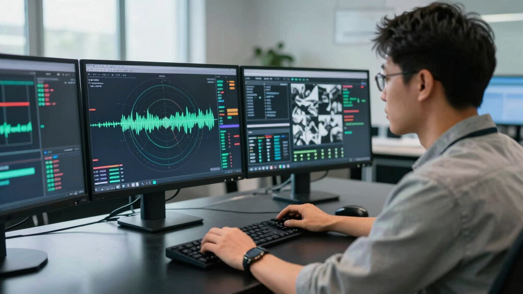
Yet the report argues that collection capacity has surpassed interpretation capacity. SAR images are speckled and geometrically distorted, and they require specialist knowledge or software to interpret. AI systems can screen repeated observations for objects, movement and physical changes, directing analysts toward images that may require closer review. Their outputs still need validation because an incorrect classification could affect emergency, commercial or security decisions.
synthetic aperture radar (SAR) imaging device
As an affiliate, we earn on qualifying purchases.
As an affiliate, we earn on qualifying purchases.
Radar Moves Beyond State Programs
Spaceborne radar was once concentrated in a small number of national programs. The growth of smaller commercial satellites and constellations with faster revisit rates has widened access to radar imagery for insurers, infrastructure operators, researchers and news organizations.
The Thorsten Meyer AI report cites a projection that the global SAR market will grow from about $7.45 billion in 2026 to $18.8 billion by 2034. That figure is a forecast, not a confirmed outcome. Free data from Europe’s Sentinel-1 missions also supports scientific and public-interest uses, including ice monitoring, flood analysis and observation of forest loss beneath persistent cloud cover.
“The sensor is solved — the reading of it isn’t.”
— Thorsten Meyer AI report
AI analysis software for satellite imagery
As an affiliate, we earn on qualifying purchases.
As an affiliate, we earn on qualifying purchases.
Accuracy and Deployment Details Remain Open
It is not yet clear how accurately the described AI analysis systems perform across different terrain, weather conditions and sensor configurations. The supplied report provides no benchmark results, error rates or details about human review requirements.
Questions also remain about constellation delivery dates, national access to processing software and restrictions that commercial providers may place on sensitive imagery. Claims about resolution and market growth depend on operator specifications and forecasts that may change.
ground movement detection InSAR device
As an affiliate, we earn on qualifying purchases.
As an affiliate, we earn on qualifying purchases.
Contracts Shift Toward Processing Software
Attention will move to whether European programs deliver their planned satellites and build domestic processing capacity alongside them. Future procurement decisions are likely to show whether buyers fund AI detection tools, secure computing infrastructure and analyst training, rather than treating imagery collection as a complete surveillance capability.
all-weather surveillance radar system
As an affiliate, we earn on qualifying purchases.
As an affiliate, we earn on qualifying purchases.
Key Questions
What makes SAR different from an optical satellite?
SAR transmits microwave pulses instead of relying on sunlight. It can collect imagery through clouds and darkness, although the resulting images require specialist interpretation.
Where does AI fit into radar surveillance?
AI software screens large image volumes for objects, movement and changes between observations. It can reduce analyst workload, but human verification remains necessary when errors could carry serious consequences.
Who uses commercial radar imagery?
Users include governments, insurers and infrastructure operators, as well as researchers and journalists. Applications range from flood mapping and subsidence monitoring to ship detection and military observation.
Can radar identify every object accurately?
No. Resolution, viewing angle and surface conditions affect what can be inferred, while speckle and geometric effects can lead to errors. A radar detection is evidence requiring interpretation, not automatic proof of an object’s identity or purpose.
Source: Thorsten Meyer AI
Halloween Picks
halloween
As an affiliate, we earn on qualifying purchases.